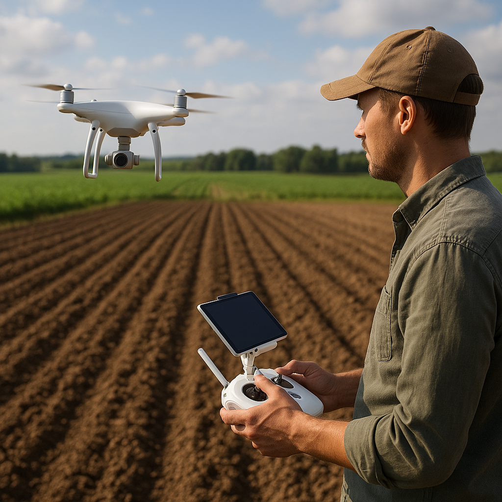
Integrating modern aerial technologies into traditional agricultural practices can revolutionize how farmers prepare their fields. By employing drones for pre-plowing surveys, operators gain a comprehensive view of soil conditions, topography, and potential obstacles. This approach not only enhances precision but also boosts overall efficiency and long-term productivity. Below, you will find practical guidance on leveraging unmanned aerial vehicles for effective field mapping before plowing, enabling smarter decisions and better results.
Planning Your Aerial Survey
Successful field mapping begins long before the drone takes flight. Careful preparation ensures high-quality data and smooth execution. Consider the following steps:
1. Selecting the Right Equipment
- Choose a drone model equipped with a reliable camera or multispectral sensor. Modern UAVs often feature integrated NDVI (Normalized Difference Vegetation Index) capabilities for vegetation analysis.
- Ensure your drone supports precise GPS modules to record accurate coordinates.
- Verify that the battery life and payload capacity match your field’s size and mapping requirements.
2. Setting Up the Flight Plan
- Use flight-planning software to define waypoints, altitude, and overlap settings. A minimum of 70% frontlap and 60% sidelap is recommended for detailed mosaics.
- Adjust flight altitude to balance resolution and coverage area. Lower altitudes yield finer detail but require more passes. Higher altitudes cover more ground but may miss subtle features.
- Account for prevailing wind conditions and avoid midday thermal turbulence to maintain stable flight paths.
3. Ensuring Compliance and Safety
- Check local regulations regarding UAV operations, no-fly zones, and altitude restrictions.
- Obtain any necessary permits or notifications before flying.
- Brief your team on emergency procedures, including a predetermined landing zone and manual override protocols.
Executing the Drone Mission
With a robust plan in place, it’s time to launch the drone and gather critical data. Follow these guidelines to optimize your flight operations:
Pre-Flight Checklist
- Confirm that all batteries are fully charged and spare batteries are on hand.
- Calibrate the drone’s compass and inertial measurement unit (IMU) according to manufacturer instructions.
- Ensure memory cards have sufficient space, and timestamp settings are correct to synchronize images.
Mid-Flight Monitoring
- Maintain visual line-of-sight with the UAV and monitor telemetry data, including altitude, speed, battery level, and signal strength.
- Watch for obstacles such as power lines, trees, or wildlife. Adjust altitude or flight path if necessary.
- Use a ground station app to spot-check images and ensure uniform coverage across the field.
Post-Flight Procedures
- Securely land the drone in a designated zone. Power down the system before removing batteries.
- Transfer imagery and sensor data to a computer for processing.
- Review flight logs to confirm complete coverage and identify any gaps requiring additional passes.
Processing and Analyzing Aerial Data
Once you have collected raw imagery, transforming it into actionable insights is crucial. The following techniques help convert aerial data into field-ready maps:
Photogrammetry and Orthomosaics
- Import images into photogrammetry software to generate an orthomosaic map. This high-resolution composite eliminates distortions and provides an accurate, georeferenced field image.
- Extract a digital surface model (DSM) and digital terrain model (DTM) to visualize ground and canopy elevations.
Elevation and Contour Mapping
- Use the DSM and DTM to derive contour lines that reveal subtle slopes and depressions.
- Identify high points and low areas to plan drainage solutions or targeted soil amendments.
- Generate a slope map to guide tractor speed and plow depth adjustments for consistent furrow depth.
Vegetation and Soil Health Analysis
- Process multispectral images to calculate vegetation indices like NDVI. This highlights crop stress or weed infestations that may influence plowing patterns.
- Incorporate thermal data, if available, to detect moisture variation and optimize irrigation timing post-plowing.
- Overlay historical yield data onto the current aerial map to create variable-rate application zones for fertilizers or lime.
Translating Data into Plowing Strategies
With mapped outputs in hand, farmers can design customized plowing plans that consider field variability and maximize soil health. Key approaches include:
Variable-Depth Plowing
- Use contour and elevation maps to adjust plow depth dynamically, ensuring consistent soil turnover across slopes and troughs.
- Prevent over-plowing in low-lying areas where moisture accumulates, reducing the risk of waterlogging and compaction.
- Implement GPS-guided tractors to follow digital depth commands derived from your mapping software.
Improved Drainage Planning
- Identify natural drainage channels and design supplemental furrows where necessary.
- Align plowing direction with slopes to accelerate water runoff during heavy rains, minimizing erosion.
- Plan retention zones or terraces in moderately sloped sections to conserve moisture and prevent nutrient loss.
Obstacle Avoidance and Field Efficiency
- Mark rock piles, tree stumps, and other impediments on your map to set exclusion zones for plowing equipment.
- Design the most efficient headland paths to reduce unproductive turns and lower fuel consumption.
- Coordinate multiple tractor units using shared field maps to prevent overlap and optimize coverage time.
Best Practices and Advanced Considerations
To fully leverage aerial mapping technology, adopt these additional tips and stay current with emerging innovations:
Routine Monitoring and Updates
- Conduct pre- and post-plowing flights to compare terrain changes and verify plow consistency.
- Schedule periodic mapping missions throughout the season to adjust management practices according to evolving field conditions.
Integrating IoT and Telemetry
- Combine drone data with ground-based sensors and tractor telemetry feeds for holistic analysis.
- Enable real-time alerts for equipment malfunctions, soil compaction anomalies, or sudden elevation shifts.
Continuous Learning and Collaboration
- Participate in agricultural tech forums and workshops to exchange insights on UAV applications in tillage and soil health.
- Partner with agronomists and data specialists to refine interpretation of aerial outputs and optimize plowing plans.
Conclusion
By embracing drone-assisted field mapping, farmers can transform their plowing operations from rule-of-thumb routines to data-driven processes. Accurate aerial imagery and elevation models provide the foundation for targeted soil management, tailored plow settings, and resource-efficient practices. As UAV technology continues to advance, its role in sustainable agriculture will grow, empowering operators to achieve higher yields with lower inputs and reduced environmental impact.