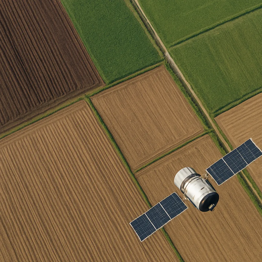
Satellite imagery has revolutionized modern agriculture by providing farmers with unprecedented insights into field conditions. By leveraging high-resolution data from orbiting sensors, cultivators can refine their plowing strategies, optimize soil health, and boost overall productivity. This article explores practical methods to harness remote sensing for effective plowing analysis and offers targeted tips to integrate these insights into daily operations.
Acquiring and Preprocessing Satellite Imagery
Before diving into analysis, it is crucial to secure reliable image sources and prepare the data. Numerous platforms offer free or subscription-based access, but each comes with its own specifications:
- Sentinel-2: Offers 10m spatial resolution with multispectral bands, ideal for tracking vegetation indices.
- Landsat 8: Delivers 30m resolution data with thermal bands, useful for detecting soil moisture variations.
- Commercial providers (e.g., Planet Labs): Provide ultra-high resolution (around 3–5m), but may incur costs.
Once selected, follow these preprocessing steps:
- Radiometric Correction: Adjusts for sensor and atmospheric effects to ensure true surface reflectance.
- Geometric Correction: Aligns imagery to real-world coordinates, enabling precise field mapping.
- Cloud Masking: Removes cloud-covered pixels to avoid misleading readings.
- Vegetation Index Calculation: Compute indices such as NDVI (Normalized Difference Vegetation Index) to assess crop vigor.
Proper preprocessing establishes a foundation for accurate and actionable plowing analysis.
Interpreting Key Indicators for Plowing
Plowing efficacy depends on understanding field variability. Satellite imagery provides several critical indicators:
Vegetation and Biomass Assessment
- NDVI: Highlights areas of vigorous growth. Low NDVI zones may signal compaction or nutrient deficiencies.
- Enhanced Vegetation Index (EVI): Offers improved sensitivity in high-biomass regions, helping decide if residue incorporation is needed before tillage.
Soil Moisture and Thermal Patterns
- Thermal Infrared Bands: Detect surface temperature differences. Cooler zones often correspond to wetter soils, which may require delayed plowing to prevent compaction.
- Microwave Data (e.g., Sentinel-1 SAR): Penetrates cloud cover and provides direct soil moisture measurements, critical after rainfall events.
Topography and Terrain Analysis
- Digital Elevation Models (DEMs): Reveal slopes and depressions, guiding contour plowing and erosion control.
- Slope Maps: Derived from DEMs, inform variable-depth plowing to prevent water runoff and soil loss.
By combining these layers within a GIS environment, farmers can pinpoint zones requiring specialized tillage approaches and tailor operations accordingly.
Integrating Imagery with Agronomic Practices
Remote sensing insights translate into field actions that enhance efficiency and soil health. Consider the following plowing tips:
- Variable-Depth Tillage: Adjust plow depth based on compaction maps. Hardpan zones may benefit from deeper ripping, while looser soils require less disturbance.
- Zone-Based Residue Management: In areas of high biomass indicated by EVI, maintain surface residue to curb erosion and preserve moisture.
- Timing of Plowing: Use soil moisture data to schedule tillage when soils are near optimal moisture thresholds, minimizing clod formation and structural damage.
- Equipment Calibration: Sync GPS-guided tractors with grid-based imagery maps to follow customized tillage patterns, reducing overlap and fuel usage.
Regular monitoring throughout the season allows adaptive management. For instance, identify waterlogged spots post-harvest and adjust plowing strategy to improve drainage.
Advanced Tools and Future Trends
Emerging technologies are set to enhance plowing analysis further:
Machine Learning and Predictive Analytics
- Classification Algorithms: Automate identification of soil types and moisture regimes, enabling prescriptive tillage recommendations.
- Time-Series Analysis: Track changes in vegetation and soil properties over multiple seasons to predict long-term impacts of various plowing methods.
Drones and UAV Integration
- High-Resolution Aerial Surveys: Complement satellite data by capturing ultra-fine details on soil clods, residue cover, and draft requirements.
- Real-Time Feedback: Equip drones with sensors to evaluate post-plowing surface conditions and validate satellite-based predictions.
Cloud-Based Platforms and Collaboration
- Web GIS Portals: Provide easy access to multi-sensor data and analytical tools without heavy local computing resources.
- Data Sharing Networks: Facilitate community-driven insights on tillage outcomes, fostering continuous improvement across regions.
By staying abreast of these innovations, farmers can leverage precision agriculture to fine-tune their plowing operations and achieve sustainable gains.