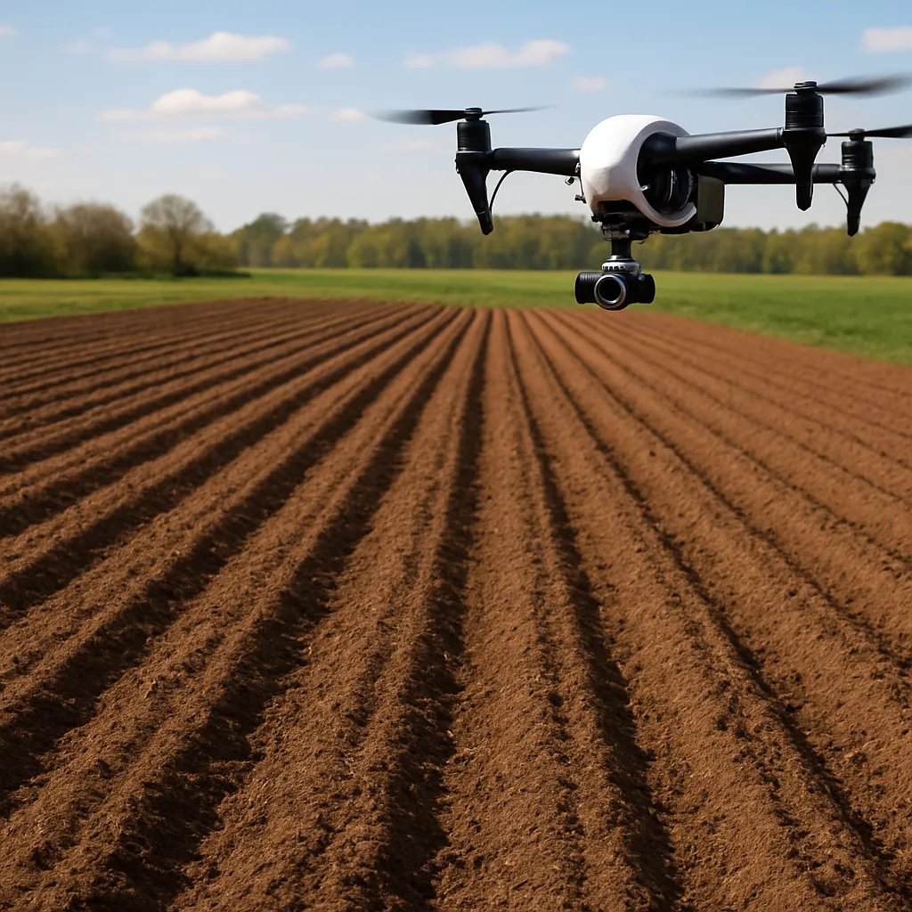
Effective plowing is at the heart of productive agriculture, and recent advances in aerial technology have made it possible to elevate traditional methods into a new era of precision and insight. By integrating drone imaging systems into routine field operations, farmers and agronomists can unlock valuable information about soil consistency, moisture distribution, and overall quality of tillage. This article delves into practical strategies for using drones to monitor and improve plowing performance, offering guidance on equipment selection, flight planning, data processing, and actionable decision-making.
Understanding Drone Imaging Technology
Before deploying an aerial system, it is crucial to grasp the fundamentals of how drones capture and relay information:
Key Components of a Drone Imaging System:
- Airframe: Determines stability, flight time, and payload capacity.
- Sensors: Include RGB cameras for visual imaging, multispectral sensors for vegetation indices, and LiDAR units for topographic mapping.
- GNSS Modules: Provide centimeter-level positioning to geotag images accurately.
- Ground Control Station: Software interface for flight planning, real-time monitoring, and mission adjustments.
Advantages of Aerial Monitoring:
- Rapid coverage of large fields, reducing manual scouting time.
- High-resolution data enables detection of micro-variations in soil texture.
- Historical records of flights allow trend analysis and performance benchmarking.
Choosing the Right Drone Platform
Selection criteria should balance budget constraints with operational needs:
- Fixed-Wing vs. Multirotor: Fixed-wing drones offer longer flight times ideal for expansive fields, while multirotor platforms excel at hovering and capturing detailed close-up images.
- Payload Capacity: Larger sensors such as LiDAR demand more lift—ensure your chosen drone can accommodate the extra weight without compromising flight stability.
- Flight Endurance: Evaluate battery life or fuel efficiency to match the size of the area you intend to survey in a single mission.
- Regulatory Compliance: Verify local aviation regulations, including line-of-sight requirements and altitude restrictions.
Implementing Drone-Based Monitoring in Plowing Operations
Integrating aerial surveys into the plowing workflow requires careful planning and coordination. The following steps outline a systematic approach:
Pre-Flight Preparation
- Calibrate sensors and perform a monitoring checklist: GPS lock, gimbal alignment, and battery health.
- Define the survey perimeter using field boundary coordinates, ensuring complete coverage without unnecessary overlaps.
- Check weather conditions: wind speeds under 15 km/h and clear skies yield optimal imagery.
Flight Execution Strategies
Effective mission execution hinges on consistent flight parameters:
- Altitude: Flying at 30–50 meters above ground delivers sufficient resolution for assessing plowing furrows and ridges.
- Overlap Percentage: Set frontlap and sidelap at 70%–80% to guarantee seamless photogrammetric stitching.
- Flight Speed: Maintain a steady 5–8 m/s to avoid motion blur and uneven exposure.
- Implement mission fail-safes, including return-to-home triggers for low battery or loss of GNSS signal.
Post-Flight Data Management
Once the aerial run concludes, prioritizing swift and organized data handling ensures timely insights:
- Download imagery and sensor logs to a designated folder structure labeled by date and field identifier.
- Back up raw files on at least two separate storage mediums (e.g., external SSD and cloud repository).
- Document metadata, including weather conditions, tractor settings, and plowing depth, to correlate with observed crop performance later.
Advanced Data Analysis for Plowing Quality Assessment
Transforming raw aerial captures into meaningful agronomic intelligence involves multiple processing stages:
Photogrammetry and Orthomosaic Creation:
- Use specialized software to align overlapping images, correcting for lens distortion and perspective.
- Generate high-resolution orthomosaics that present a seamless, georeferenced map of the plowed field.
3D Terrain Modeling:
- Leverage Structure-from-Motion (SfM) workflows to build a digital elevation model (DEM) reflecting furrow depth variations.
- Analyze DEM cross-sections to quantify uniformity of tillage and identify areas requiring corrective action.
Vegetation and Soil Health Indices
While primary focus is on soil turnover, integrating vegetative indices can inform long-term field management:
- NDVI (Normalized Difference Vegetation Index): Monitors crop residue green cover and early emergence post-plowing.
- NDRE (Red Edge): Assesses chlorophyll content in volunteer plants or cover crops to guide nutrient planning.
Quality Metrics and Reporting
Establishing standardized metrics ensures consistency across seasons:
- Furrow Depth Variation: Expressed as a standard deviation of depth measurements per hectare.
- Coverage Uniformity: Percentage of field area meeting target tillage depth tolerance.
- Residue Distribution: Ratio of tilled to untilled patches to evaluate completeness.
Compile these metrics into concise digital reports, supplemented by annotated orthomosaics and 3D visualizations that make it simple for operators to implement improvements. By establishing a feedback loop between aerial insights and ground operations, teams can continuously refine plowing practices, achieving greater efficiency and maximizing yield potential.
Future Trends and Best Practices
The rapid evolution of aerial imaging technology paves the way for even more sophisticated solutions:
- Integration of machine learning algorithms to automatically detect suboptimal tillage patterns.
- Real-time data streaming from drones directly to onboard tractor displays for immediate course corrections.
- Swarm drone operations enabling simultaneous launches for large‐scale, time‐sensitive surveys.
Regular training and calibration of both equipment and personnel ensure the highest levels of reliability. Embrace a culture of data‐driven experimentation, and maintain detailed logs of every mission to build longitudinal datasets. As you refine your drone‐based plowing assessment protocols, field teams will gain unprecedented control over soil health and crop establishment, ushering in a new benchmark for modern farming operations.