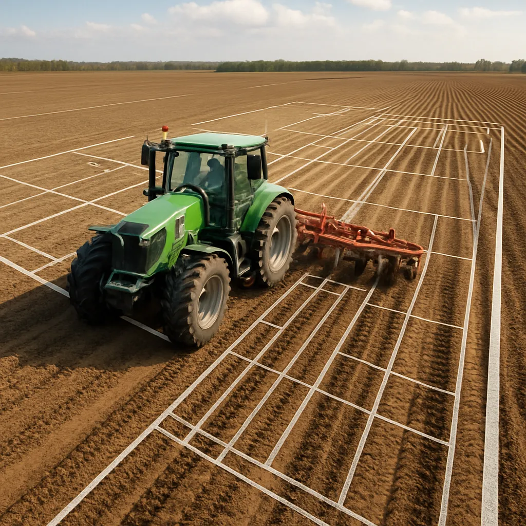
Harnessing the power of modern field mapping tools can transform the way you plan and execute your plowing operations. By leveraging precise digital data, you can optimize every pass across your land, minimize overlaps, and reduce wasted time and fuel. This guide delves into essential strategies, advanced techniques, and practical tips to help you turn raw mapping data into a seamless, efficient routine that maximizes both time and resources.
Understanding Digital Field Mapping
Before you can plot the ideal plowing path, it’s crucial to understand how mapping solutions capture and present information. Field mapping software typically relies on satellite imagery, drone surveys, or on-the-go GPS tracking to record the exact boundaries and features of your land. Key elements include:
- Boundaries: Accurate perimeters prevent you from crossing into neighboring properties.
- Obstacles: Trees, fences, and waterways are flagged so you can avoid potential damage.
- Soil Zones: Differentiated by texture or moisture, these areas influence plow depth and speed.
Once these elements are uploaded, you’ll see a layered map offering a bird’s-eye view of your entire field. Understanding each layer’s function ensures you’re making decisions based on the most relevant and up-to-date data.
Designing an Efficient Plowing Route
After establishing a clear map, the next step is route planning. A well-designed path saves hours in the field and reduces fuel consumption. Here’s how to create an optimized plan:
- Swath Width Calculation: Match your tractor’s plow width to field width for straight runs without unnecessary turns.
- Contour Alignments: Follow natural contours to reduce soil erosion and maintain consistent depth.
- Turning Radius: Account for your equipment’s turning capabilities to minimize wasted space at each row’s end.
Using your mapping tool’s route-drawing function, draw proposed passes and let the software automatically minimize overlaps. Many solutions feature an optimization algorithm that adjusts line spacing and direction to achieve maximum coverage with the fewest passes.
Mapping Soil Variability
Fields are rarely uniform. Mapping software can overlay soil type data, helping you adjust plow settings on the fly. For instance:
- Heavy clay zones may require slower speeds and shallower depths to avoid creating large clods.
- Sandy sections can handle deeper plow settings at higher speeds, as the soil structure is looser.
- Areas prone to waterlogging benefit from shallower plowing to improve drainage without eroding topsoil.
By correlating soil maps with your route plan, you can program GPS-guided implements to change depth or speed automatically, ensuring consistent precision everywhere.
Integrating GPS Technology
Global Positioning System (GPS) integration is at the heart of modern plowing efficiency. Here’s what you need to maximize its potential:
- Auto-Steering: Reduces operator fatigue and ensures perfectly straight lines even in low-visibility conditions.
- RTK Correction: Real-Time Kinematic adjustments boost location accuracy to within a few centimeters.
- Data Logging: Records each pass for post-field analysis and future planning.
With GPS auto-steering engaged, even the most complex route becomes manageable. Simply upload your field map, select your planned path, and let the system guide the tractor with unerring efficiency.
Setting Up Waypoints
Waypoints mark critical spots like irrigation outlets, steep inclines, or rocky patches. Establishing these points helps you:
- Avoid unexpected obstacles that could damage equipment.
- Adjust speed before entering challenging zones.
- Prepare implements for different soil conditions ahead.
Place waypoints in your mapping app before heading out, or create them on the go with a handheld GPS unit. Each saved coordinate becomes a reference that streamlines future passes across the same field.
Software Selection and Compatibility
Not all field mapping solutions offer the same feature set. When choosing a platform, consider:
- File Formats: Support for shapefiles, KML, or proprietary formats ensures seamless data import/export.
- Hardware Integration: Compatibility with your tractor’s display, sensors, and implement controls.
- Cloud Connectivity: Enables real-time updates and team collaboration from anywhere.
A robust mapping software package will also provide regular updates to satellite imagery, let you annotate maps with notes or photos, and offer customer support for troubleshooting integration issues.
Best Practices and Troubleshooting
Even with top-tier tools, challenges can arise. Follow these best practices to maintain productivity:
- Regular Calibration: Recalibrate sensors at the start of each season to maintain accuracy.
- Battery Management: Ensure GPS receivers and displays are fully charged before heading out.
- Firmware Updates: Keep all devices updated to access the latest features and bug fixes.
If you encounter drift or signal loss, switch to a backup guidance method or manually correct your path using map overlays. Periodic checks against physical landmarks can help verify that your digital map aligns with reality.
Unlocking Enhanced Yield and Sustainability
By strategically combining field mapping data with modern plowing techniques, you’re setting the stage for higher yield and more sustainable land management. Precise plowing reduces soil compaction, preserves moisture, and maintains organic layers that nourish crops. Over time, the consistent application of these strategies pays dividends through healthier soils, optimized resource use, and a more predictable planting season.
Key Takeaway: Implementing field maps isn’t just a one-off upgrade; it’s a continuous process of planning, execution, and refinement. With each season, your maps become more detailed, your routes more optimized, and your operation more productive.